
Collection Gem: September 2019
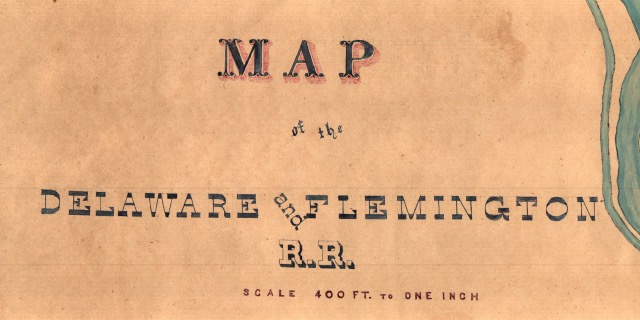
A proposed railroad line from Flemington to Stockton that was never built is the subject of this month’s Collection Gem. A draft map of the proposed route at a scale of 1” = 400’ for the “Delaware & Flemington Rail Road” is captured on Map 186 (Figure 1). While this map has no date, and there is no entry for such a railway line on the internet, my suspicion is that it predates the 1894/5 map highlighted in last month’s Collection Gem, perhaps even the 1871 map highlighted in the July Collection Gem. Why? My conclusion is based on the fact that there is a line running across the southern part of Hunterdon County , ending in Lambertville. While I lamented the “over-building” of rails last month, I find it difficult to believe a line would be proposed tracing very much the same route, but terminating at the Delaware River at Stockton when a line terminating at Lambertville, a city with almost eight times the population of Stockton (based on 1900 Census figures of 4,637 in Lambertville and 590 in Stockton), already existed. But the greater clue is the inclusion of the Easton and Amboy line which was completed by 1875 by the Lehigh Valley Railroad. It combined the Perth Amboy and Bound Brook Railroad and Bound Brook and Easton Railroad, and ran across Western New Jersey from Phillipsburg to Bound Brook. So we have a date bracket for map 186, no older than 1875.
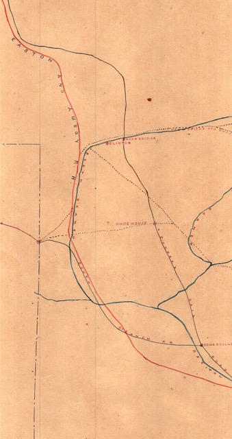
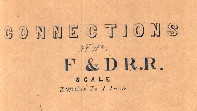
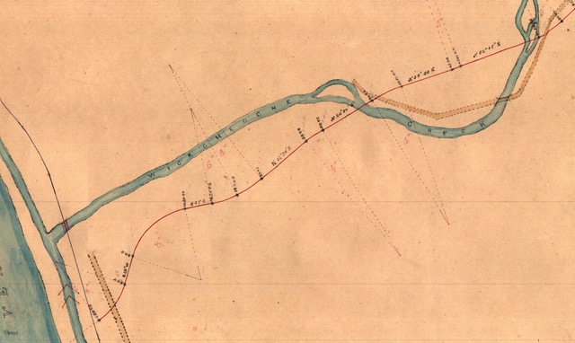
Figure 2 is an interesting bit of 19th Century “salesmanship”. The dashed line on the left side of the figure represents a change in scale to 1 inch = 2 miles and shows the existing lines that would connect to the proposed one (Figure 3) . I think this was a pretty elegant solution in an attempt to illustrate the importance of a line to the Delaware. Interestingly, the line with which the proposed line would presumably compete, the Flemington to Lambertville, was not shown on this map.

Next month I’ll get away from the New Jersey railroads and discuss the industry’s importance to the Union effort in the American Civil War.